Round Mountain Rockhound Area
Rockhounding / fossil site · Greenlee County, AZ
Round Mountain Rockhound Area is a rockhounding area listed by the Bureau of Land Management. BLM rules generally allow collecting reasonable amounts of rocks and minerals for noncommercial use; check the BLM page for current rules.
| Type | Rockhounding / fossil site (BLM rockhounding area) |
|---|---|
| Location | Greenlee County, Arizona |
| Coordinates | 32.48472, -109.05950 (map) |
| Managed by | Bureau of Land Management |
| Fees | No fee (per BLM) |
| Hours | Call to confirm |
| Phone | 928-348-4400 |
| Website | https://www.blm.gov/visit/round-mountain-rockhound-area |
About this site
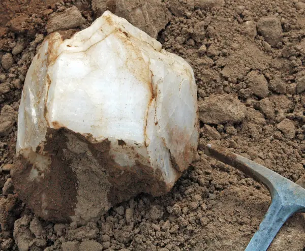
The Round Mountain Rockhound Area is a popular rockhounding area located near the town of Duncan in eastern Arizona. Please follow all rules and regulations when rockhounding .
Description from Bureau of Land Management.
Directions
From Highway 70 east of Safford approximately 50 miles, travel into New Mexico to just beyond milepost 5. Take the dirt access road on your right for 12 miles, following the signs to the Rockhound Area.
Verify before visiting. Hours, fees, access and collecting rules change, and some listings come from community-edited data. Call or check the operator's official page before you go. Details we could not confirm are marked "call to confirm".
Nearby sites
- Black Hills Rockhound Area – Graham County, AZ, 33 mi
- Bear Springs Badlands – Graham County, AZ, 58 mi
- Queen Mine Tours – Cochise County, AZ, 88 mi
- Vulture Mine Tours / Vulture City Ghost Town – Wickenburg, AZ, 237 mi
- Lynx Creek Gold Pan Day Use Area – Yavapai County, AZ, 238 mi
Source: BLM: Round Mountain Rockhound Area. Data retrieved 2026-11-04.