Lynx Creek Gold Pan Day Use Area
Gold panning · Yavapai County, AZ
Lynx Creek Gold Pan Day Use Area is mapped in OpenStreetMap as a gold panning in Yavapai County, AZ. Prices, hours and what you can keep are not in the source data, so call to confirm.
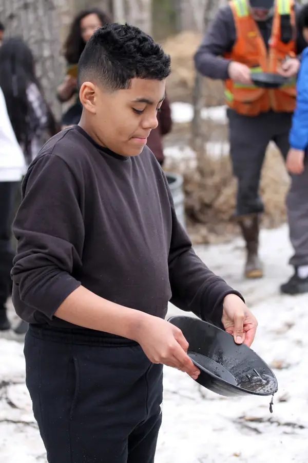
| Type | Gold panning (attraction) |
|---|---|
| Location | Yavapai County, Arizona |
| Coordinates | 34.52920, -112.38435 (map) |
| Managed by | Call to confirm |
| Fees | Call to confirm |
| Hours | Call to confirm |
| Phone | Not listed in source |
| Website | Not listed in source |
Verify before visiting. Hours, fees, access and collecting rules change, and some listings come from community-edited data. Call or check the operator's official page before you go. Details we could not confirm are marked "call to confirm".
Nearby sites
- Vulture Mine Tours / Vulture City Ghost Town – Wickenburg, AZ, 55 mi
- La Posa Long Term Visitor Area – Quartzsite, AZ, 121 mi
- Savahia Peak Rock Collecting Area – San Bernardino County, CA, 127 mi
- Wiley Well District Geode Beds – Imperial County, CA, 169 mi
- North Black Hills Geode Beds – Imperial County, CA, 172 mi
Source: OpenStreetMap n7654190882 (© OpenStreetMap contributors, ODbL). Data retrieved 2026-11-04.