Sharps Creek Recreation Site
Gold panning · Lane County, OR
Sharps Creek Recreation Site is listed in the federal Recreation Information Database with gold panning as an activity. Check current collecting or panning rules with the managing agency.
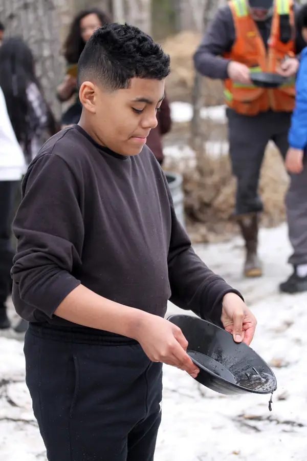
| Type | Gold panning (Campground with gold panning listed as an activity (RIDB)) |
|---|---|
| Location | Lane County, Oregon |
| Coordinates | 43.66590, -122.80733 (map) |
| Managed by | Call to confirm |
| Fees | Campsite fee includes one vehicle per site . Extra camping vehicle fee of $5 each is collected at the site. Cash or check, made out to Bureau of Land Management, is accepted. Fee envelope receipt stub must be displayed on the dash. |
| Hours | Call to confirm |
| Phone | 503-375-5646 |
| Website | https://www.recreation.gov/camping/campgrounds/273311 |
About this site
Overview Payment is done via Electronic Fee machine on site ONLY. NO CASH PAYMENTS ACCEPTED ON SITE Reserve a site at Sharps Creek on recreation.gov or pay when you arrive for non-reserved campsites using the Recreation.gov Mobile App. You must download before you reach the site since there is no cell reception in the drainage. Step off the beaten path and explore a delightful gem nestled in the foothills of the Cascade Mountains with ties to the historic Bohemia Mining District, 18 miles southeast of Cottage Grove. The site offers a 12-unit campground, day-use picnicking area, and a nearby swimming hole formed naturally among rounded boulders at the base of an overlook extending above Sharps Creek. Cool and delightful waters entice the visitor to swim or simply 'dabble' along the bank while enjoying the surrounding beauty of the forest. …
Description from Recreation Information Database (RIDB).
Directions
Take Cottage Grove exit 174 from Interstate Highway 5. Turn left onto Row River Road and follow signs to Dorena Lake (Approximately 4 miles). Continue straight on Shoreview Drive for 6.6 miles to rejoin Row River Road (covered bridge to the right). Continue traveling east 4.2 miles to Sharps Creek Road. Turn right and continue 3.1 miles. The campground is located on the right side of the road; the day use area is on the left.
Verify before visiting. Hours, fees, access and collecting rules change, and some listings come from community-edited data. Call or check the operator's official page before you go. Details we could not confirm are marked "call to confirm".
Nearby sites
- Yellowbottom Recreation Site – Linn County, OR, 67 mi
- Fossil Digging Site (Fossil, OR) – Fossil, OR, 158 mi
- Sunstone Collection Area – Lake County, OR, 162 mi
- Dry Creek Group Campground (Whiskeytown NRA) – Shasta County, CA, 210 mi
- Horse Camp Primitive Campground – Shasta County, CA, 214 mi
Source: RIDB record 273311 (Recreation.gov / RIDB, public domain). Data retrieved 2026-11-04.