Chambless Rock Collecting Area
Rockhounding / fossil site · San Bernardino County, CA
Chambless Rock Collecting Area is a rockhounding area listed by the Bureau of Land Management. BLM rules generally allow collecting reasonable amounts of rocks and minerals for noncommercial use; check the BLM page for current rules.
| Type | Rockhounding / fossil site (BLM rockhounding area) |
|---|---|
| Location | San Bernardino County, California |
| Coordinates | 34.56253, -115.52258 (map) |
| Managed by | Bureau of Land Management |
| Fees | Call to confirm |
| Hours | Call to confirm |
| Phone | 760-326-7000 |
| Website | https://www.blm.gov/visit/chambless-rock-collecting-area |
About this site
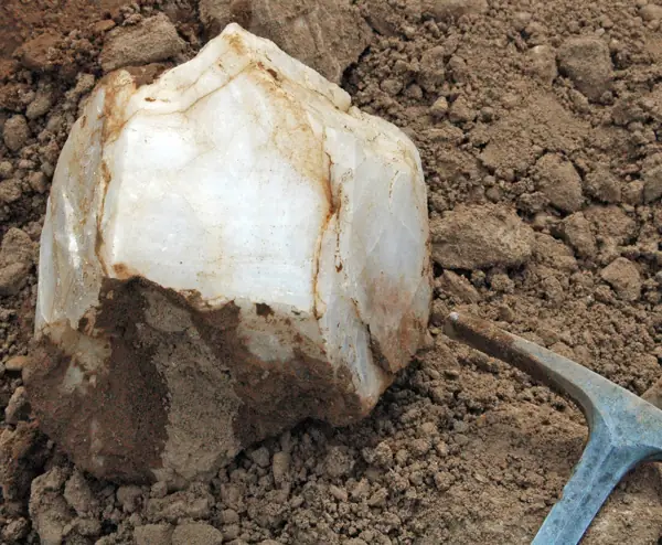
This area, on the southern boundary of the Trilobite Wilderness, is a popular place to explore for hemetite and magnetite, found in reddish-brown iron deposits near mining shafts, and for green epidote, found in the washes. An abandoned quarry yields sizable chunks of limestone and marble. In adjacent canyons tiny garnets, with dark red and brown crystals, can be found. Epidote is also scattered about and much of it contains bright metallic hematite blades. Farther east in yet another canyon you will find a gray ridge of limestone embedded with many interesting fossils.
Description from Bureau of Land Management.
Directions
From Needles, CA, take I-40 west approx. 25 miles to the Mountain Springs Road exit. Exit south and take National Trails Highway west approx. 35 miles to BLM Route NS328 (just west of Chambless, CA). Turn right onto NS328 and drive approx. 2 miles. The rock collecting area will be on both sides of the route.
Verify before visiting. Hours, fees, access and collecting rules change, and some listings come from community-edited data. Call or check the operator's official page before you go. Details we could not confirm are marked "call to confirm".
Nearby sites
- Savahia Peak Rock Collecting Area – San Bernardino County, CA, 56 mi
- Gold Panning Area (Big Bear City, CA) – Big Bear City, CA, 74 mi
- North Black Hills Geode Beds – Imperial County, CA, 84 mi
- Wiley Well District Geode Beds – Imperial County, CA, 87 mi
- La Posa Long Term Visitor Area – Quartzsite, AZ, 98 mi
Source: BLM: Chambless Rock Collecting Area. Data retrieved 2026-11-04.